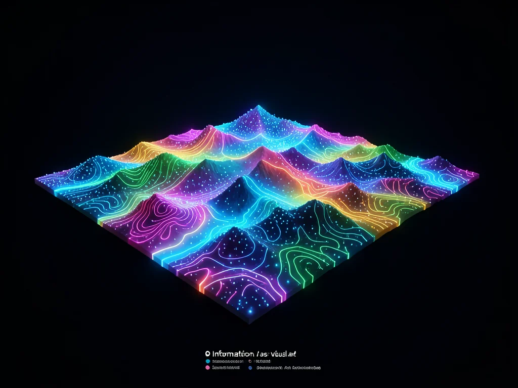
A 3D terrain map where elevation represents population density, glowing topograp
Data Visualization
By
Datum Moreau
View this image on OKSLOP